The Value of Expert Wetland Delineation in Wisconsin
Accurate wetland delineation is a critical first step in responsible land development and environmental protection, especially in a state as rich in wetland resources as Wisconsin. When wetland boundaries are clearly and correctly identified, project planning becomes smoother, regulatory reviews move faster, and wetlands receive the protection they deserve.
That’s where certified expertise makes a real difference.
Certified Expertise You Can Trust
Wisconsin Certified Wetland Delineators are relatively rare, primarily because the work requires a high level of specialized training, field experience, and state-specific certification.
Wetland delineation is technically demanding and carries regulatory risk, meaning firms and individuals must invest significant time in continuing education and quality assurance to maintain credibility with the WI DNR.
Wally Sedlar, Environmental Project Manager at McMahon, is certified by the Wisconsin Department of Natural Resources (WI DNR) as an Assured Wetland Delineation Professional. This certification represents the highest level of confidence in wetland boundary determinations and reflects extensive training, experience, and demonstrated accuracy in wetland delineation practices.
Why Assured Wetland Delineation Matters
Choosing an Assured Wetland Delineation Professional offers several key advantages:
- Greater certainty in wetland boundaries
Accurate delineation reduces ambiguity early in the project lifecycle, helping teams make informed decisions with confidence. - Time savings during state review
Wetland delineations completed by an Assured Professional typically move through WI DNR review more efficiently, reducing delays and revisions. - Improved project planning
Clear boundaries help avoid costly redesigns, construction changes, or unanticipated permitting issues. - Enhanced wetland protection
Precise and defensible wetland delineation supports long-term conservation by ensuring wetlands are neither overlooked nor inaccurately mapped.
Having the Right Tools
-
We use GPS and mapping tools to accurately locate and define wetland boundaries. This confirms your project is based on clear, defensible data and aligns with regulatory expectations.
-
Wetlands are defined in part by the plants that grow there. Our team evaluates vegetation using specialized field guides and reference data to determine if an area meets wetland criteria
- We assess how water moves through and sits on the land, looking for signs like saturated soils or standing water that influence wetland classification.
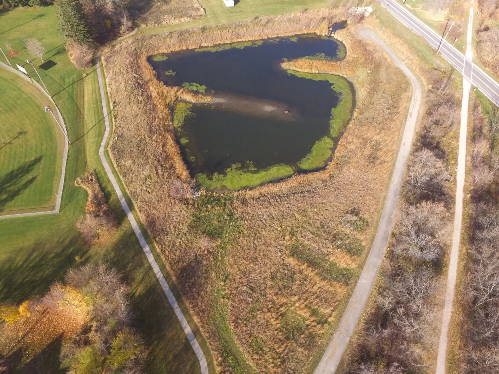
- Before heading to the field, we review aerial imagery, soil maps, and existing wetland data to guide efficient and informed site evaluations.
Supporting Responsible Development
High‑quality wetland delineation is about more than regulatory compliance; it’s about balancing development goals with environmental stewardship. Through accurate field assessments and proven methodologies, Assured Wetland Delineation Professionals help protect Wisconsin’s wetlands while supporting responsible growth.
Learn more about all of our environmental service offerings here.
Sources:
– Wisconsin Department of Natural Resources
– WI Assured Wetland Delineator listings