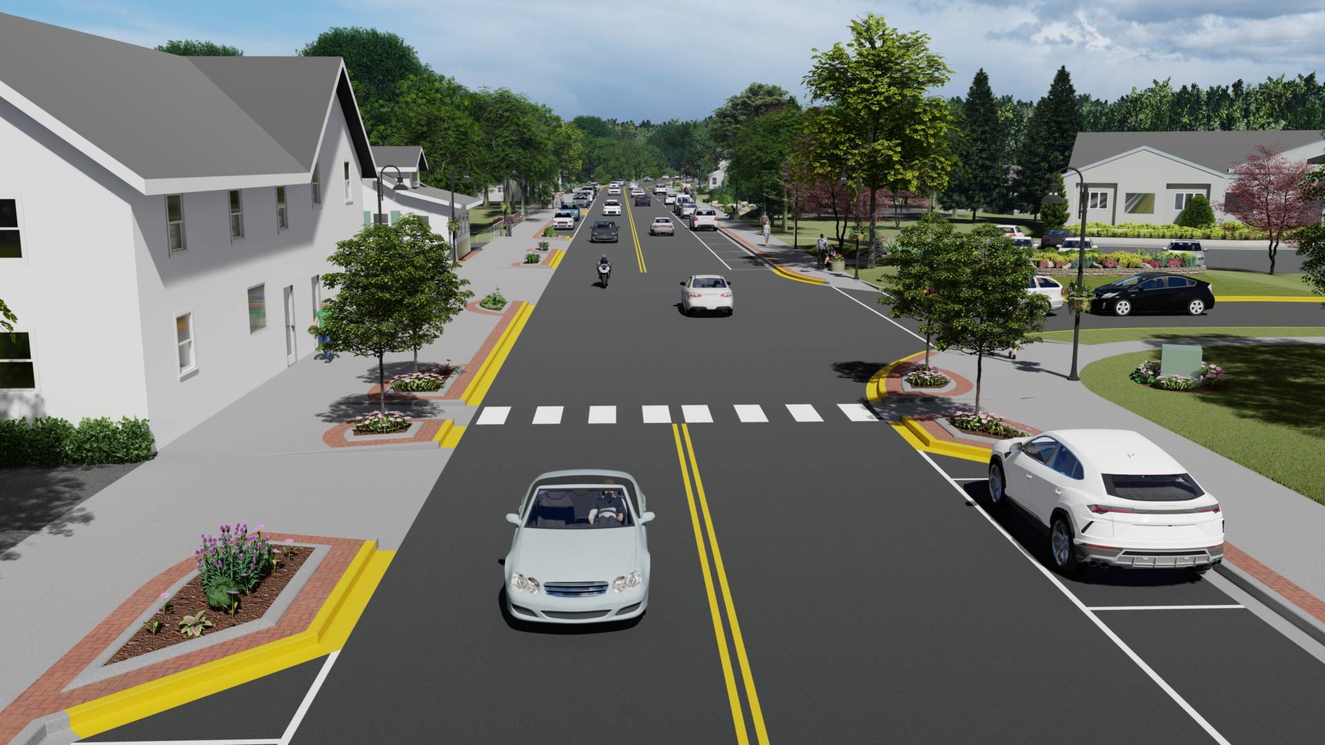
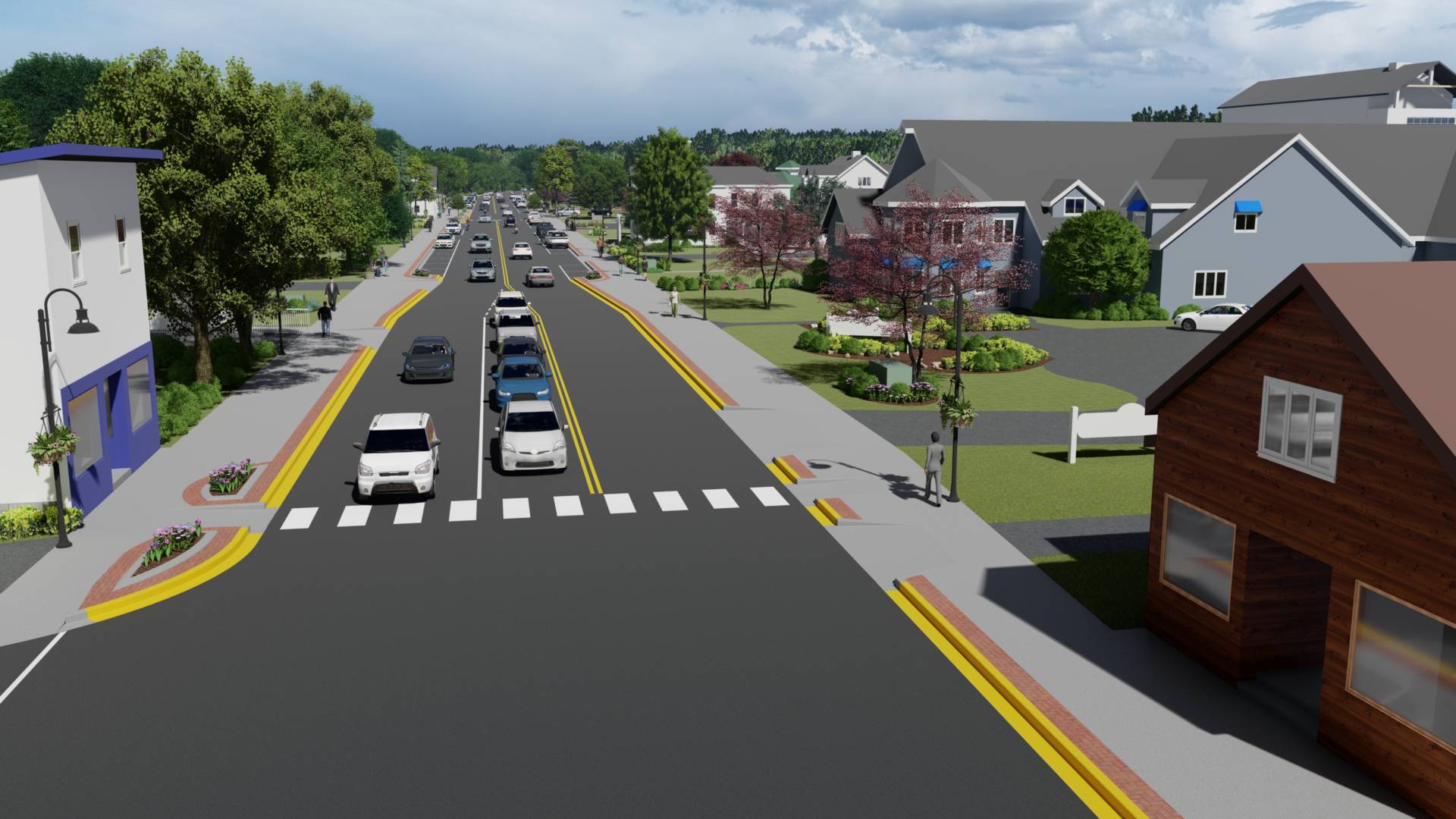
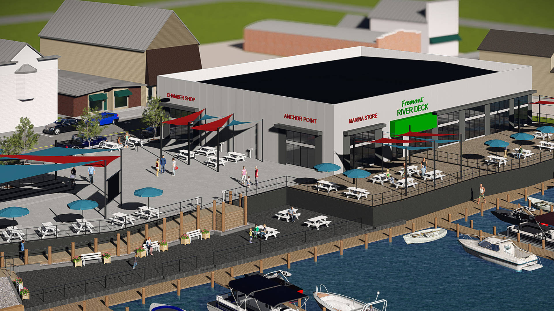
At McMahon we have access to many powerful technologies that help our team collect data at a project site. We then transform that site information into on-screen maps and models that can be used during the planning and design phases of the project.
Some of the visualization technologies we use include Geographical Information System (GIS) and Building Information Modeling (BIM).
Services Include:
GIS Development
GIS needs assessment
Auto CAD data conversion
Database design & maintenance
GIS technical training & support
Asset management program development
Field inspection forms, reporting & mapping
ArcGIS on-line (AGOL) development & administration
“Live” data dashboard environments
Facility management GIS applications
Work-order management/GIS integration
Geospatial Solutions
Aerial/terrestrial data acquisition
Photogrammetry & LiDAR
DEM/DTM/DSM (surface models) generation
Orthophoto mosaics
Volumetric analysis
Thermal imagery solutions
Video & photography solutions
Interior/exterior facility 3D laser scanning
Existing project conditions analysis
Building information modeling
Facilities asset management
Give us a call today to lean more about our Geospatial Solutions / GIS Development services