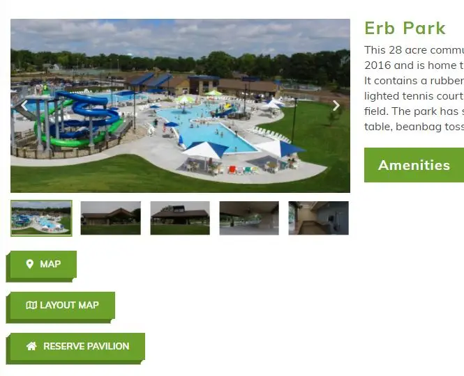
Utilizing ESRI’s ArcGIS On-Line technology, McMahon created a story map application that the City of Appleton shares with the public. The application contains content related to each park, both Community and Neighborhood Parks, including amenities offered, access to rental opportunities, UAV photos and videos of spaces for the community parks. The goal of the project was to build an application that allows the general public to interact with a single application and view amenities specific to all community and neighborhood parks within the City of Appleton.